Strong 6.2 magnitude earthquake hits Istanbul
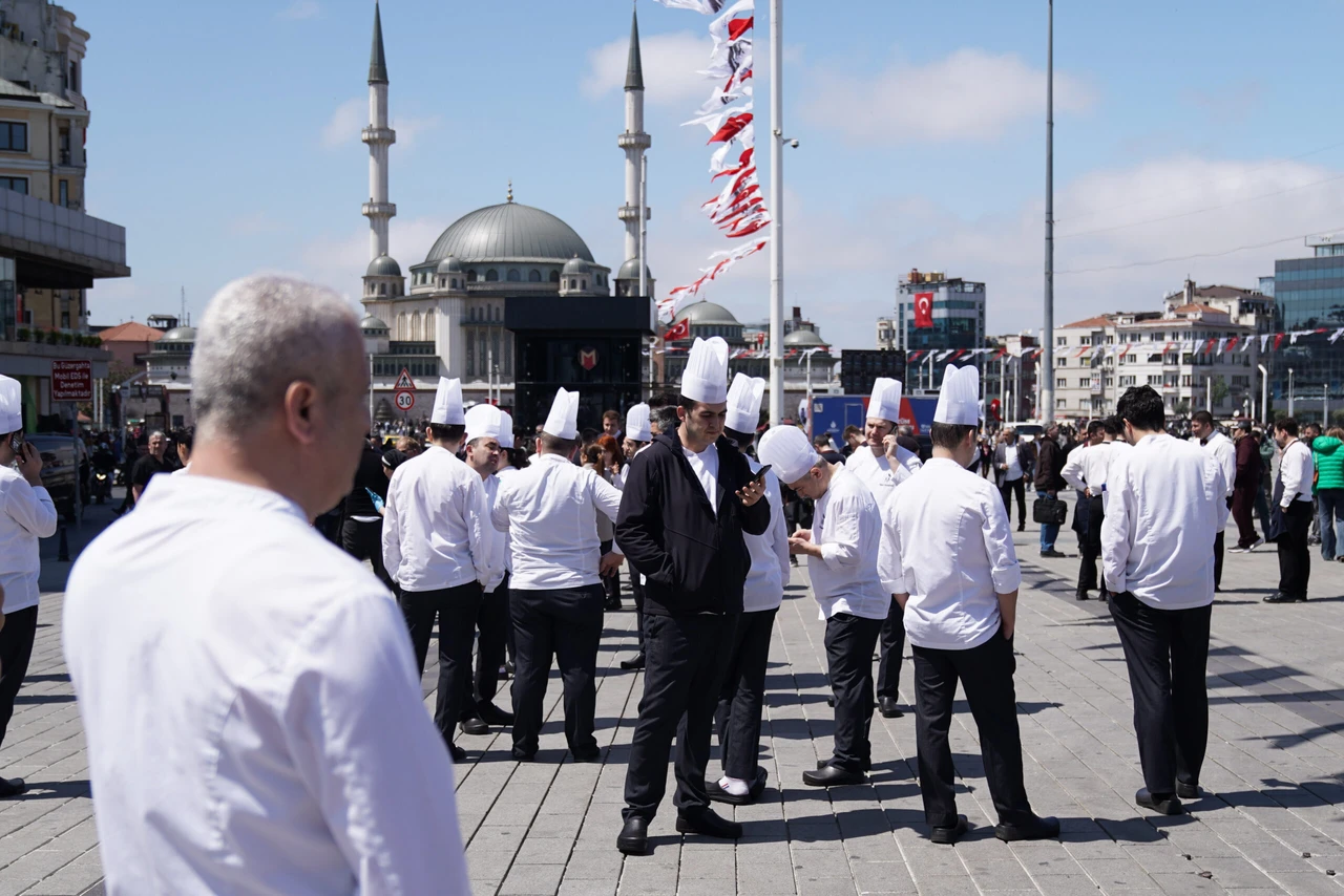
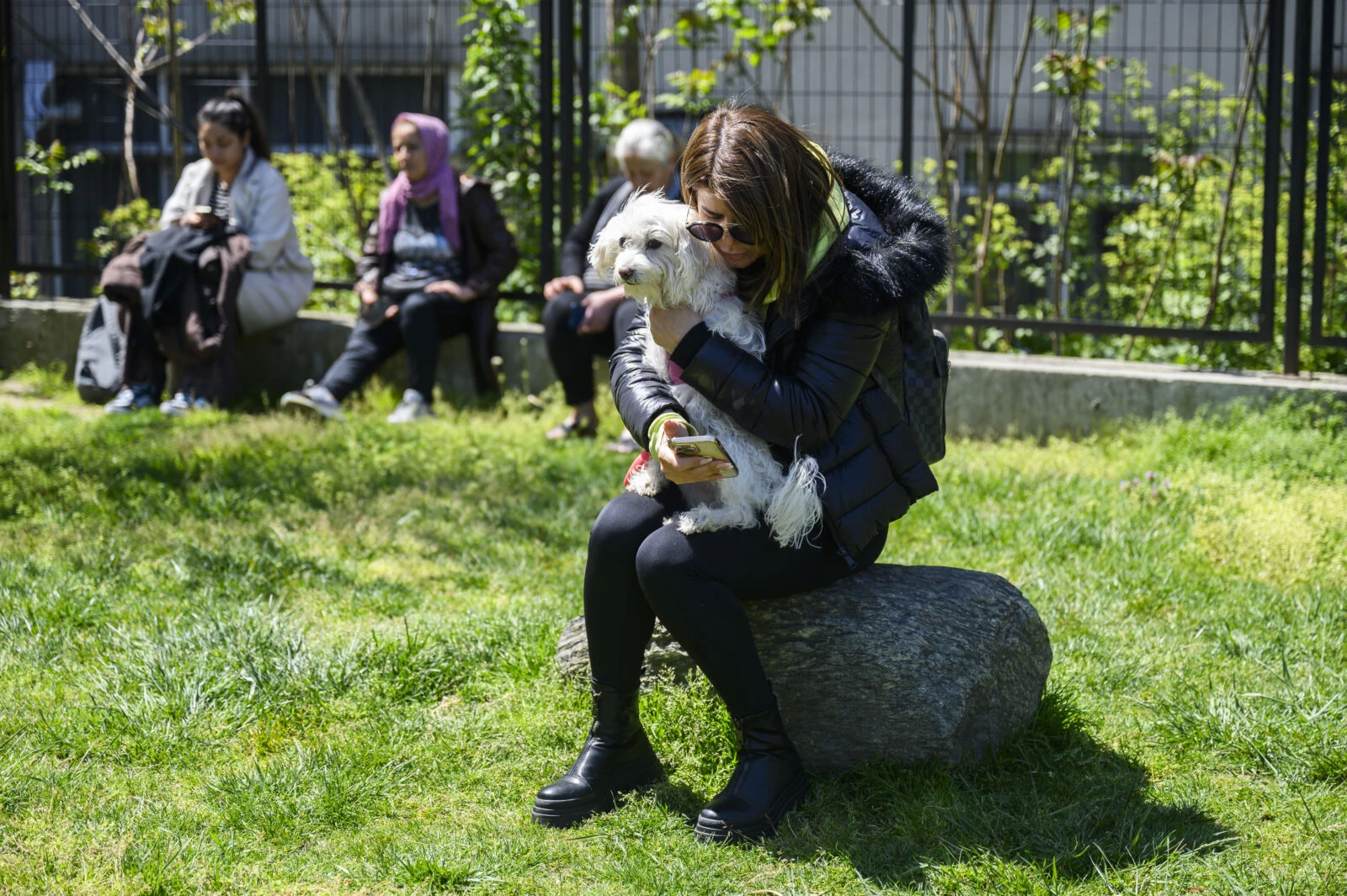
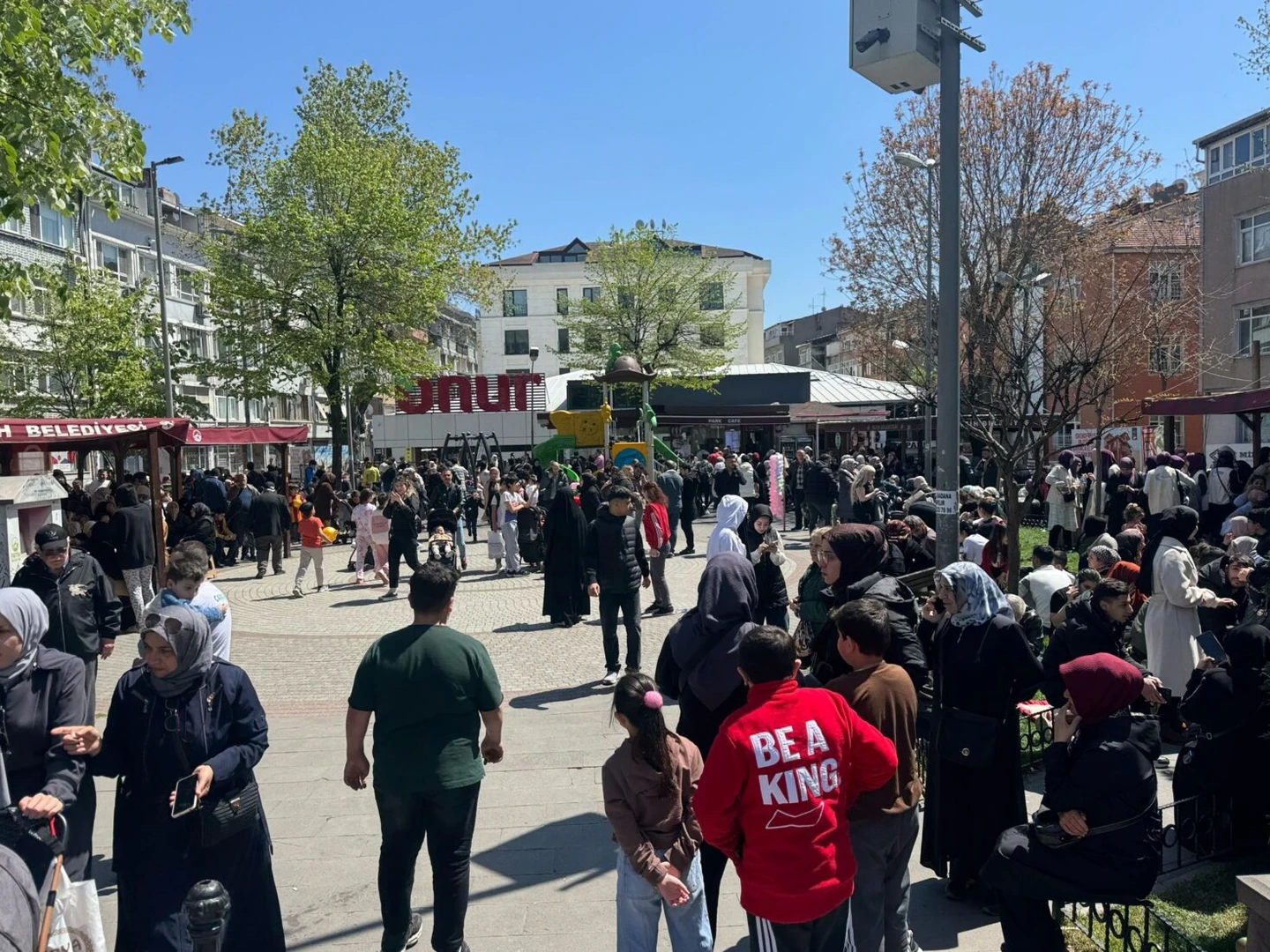
 Local residents wait in a park in Istanbul following an initial 4.0 quake followed by a bigger one with magnitude of 6.2, Türkiye, Apr. 23, 2025. (AFP Photo)
A strong earthquake struck Istanbul on Wednesday at around 12:50 p.m. local time.
Türkiye’s Disaster and Emergency Management Authority (AFAD) announced that there was a 6.2 magnitude earthquake off the coast of Silivri, Istanbul, at 12:49 p.m.
A CNN Turk reporter provided real-time updates on the earthquake.
There are reports from people who felt the tremor, particularly in the Silivri and Buyukcekmece areas.
While we are currently in Caglayan and did not feel it here, it’s reported that the earthquake was felt in districts closer to Silivri, especially in Catalca. Coastal areas seem to have experienced the tremor as well.

According to the information contained in the report, the epicenter is located in the Marmara Sea, Silivri district of Istanbul, and a 6.2 magnitude tremor was recorded.
It was determined that the earthquake, which was felt in the surrounding provinces as well as Istanbul, occurred at a depth of 6.92, kilometers.
“An earthquake of magnitude 4.9 occurred at 1:02 p.m., with its epicenter off the coast of Buyukcekmece in the Marmara Sea,” announced AFAD.
Turkish government’s official statement after 6.2 magnitude Istanbul earthquake
Türkiye’s Interior Minister Ali Yerlikaya issued a statement following the tremor.
An earthquake of magnitude 6.2 occurred in Silivri, Marmara Sea, Istanbul. All teams of AFAD and relevant institutions have started field surveys regarding the earthquake, which was also felt in neighboring provinces. I wish our citizens affected by the earthquake get well soon.
Speaker of The Grand National Assembly of Türkiye Numan Kurtulmus conveyed his get-well wishes to the citizens affected by the earthquake felt in Istanbul and neighboring provinces.
Eight earthquakes in Istanbul within one hour
About This Data
On April 23, 2025, Istanbul experienced an unusual seismic event with eight earthquakes occurring within a single hour. The strongest tremor measured 6.2 magnitude and struck at 12:49 p.m. local time off the coast of Silivri district in the Marmara Sea, Türkiye.
This interactive chart shows the magnitude and timing of each earthquake. Hover over data points to see more details.
In a post on his social media account, Kurtulmus conveyed his get well soon wishes due to the 6.2 magnitude earthquake whose epicenter was the Marmara Sea, Silivri district of Istanbul.
I convey my get-well wishes to our citizens affected by the earthquake felt in Istanbul and neighboring provinces. May God protect our country and nation from all kinds of disasters.
Numan Kurtulmus said
Emergency response teams from AFAD and other relevant agencies have been mobilized to assess potential structural risks and ensure public safety.

Disruptions and public reaction to Istanbul earthquake
Distressed citizens in Istanbul left their homes and offices in a rush following the April 23 quake in Istanbul.
- Residents in districts like Bagcilar, Besiktas, and Taksim evacuated buildings, gathering in parks and public spaces such as Bagcilar National Garden and Bebek shoreline.
- Istanbul Airport was temporarily cleared of staff and passengers as a precaution.
- Traffic congestion peaked at 78%, especially on the European side.
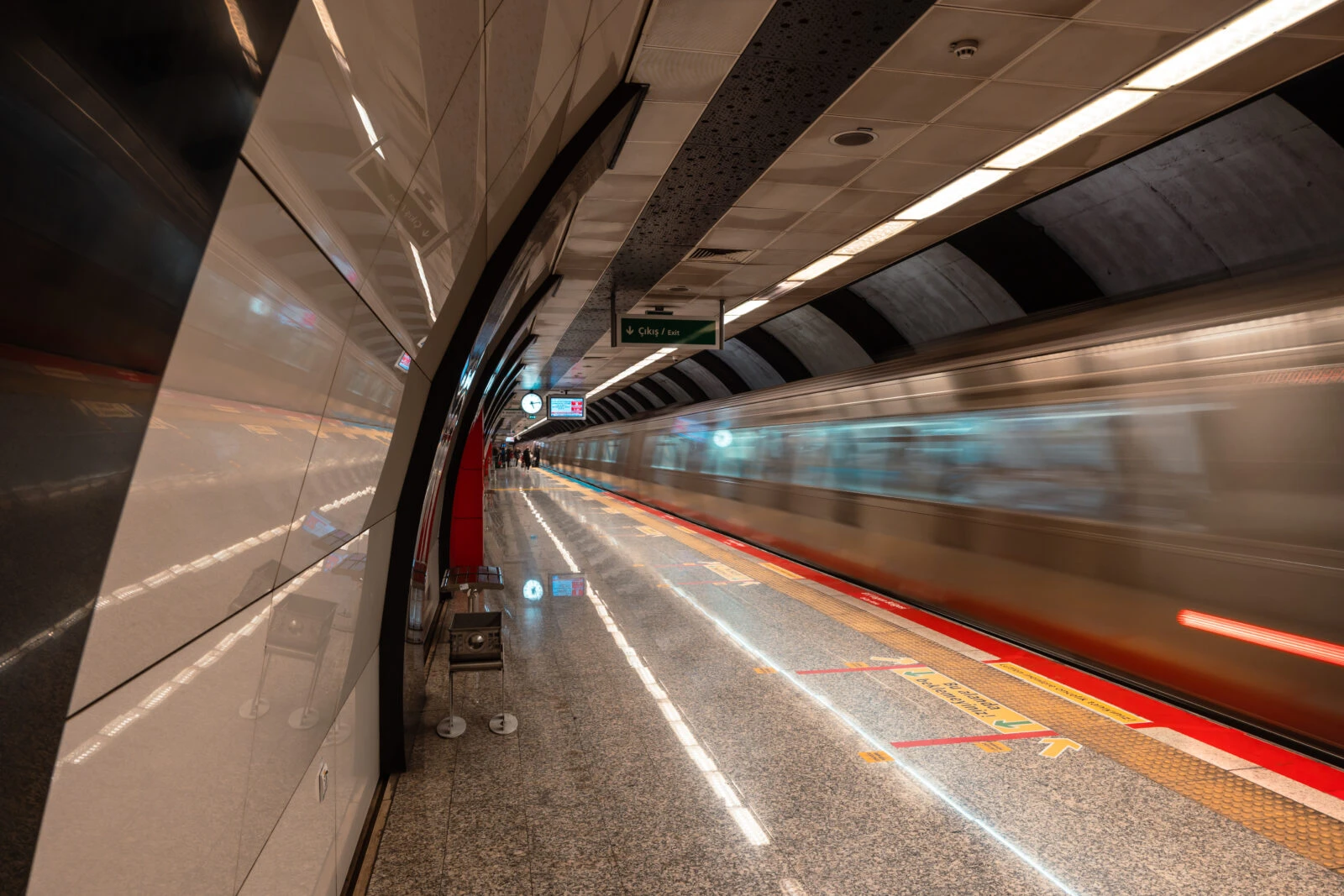
- Metro, tram, and funicular lines were inspected and found structurally safe, though elevators and cable cars were temporarily suspended.
Metro and transportation services in Istanbul after earthquake
Minister of Transport Abdulkadir Uraloglu confirmed in a statement:
“In our first examinations, no damage or negative situation was found in our roads, airports, trains and subways.”
Metro Istanbul also released a safety bulletin confirming that all metro, tram, and funicular lines were checked and found structurally intact.
- No damage was reported in tunnels, viaducts, or bridges.
- Cable cars and elevators were temporarily suspended as a precaution and reactivated after safety checks.
Minister Uraloglu, commented on the earthquakes in Istanbul:
In our first examinations, no damage or negative situation was found in our roads, airports, trains and subways.
Minister of Environment, Urbanization, and Climate Change Kurum left for Istanbul to make investigations on earthquakes.
Citizens in Istanbul urged to avoid damaged buildings, preserve communication lines
Following the tremor, the Governor of Istanbul issued a public safety advisory via social media.
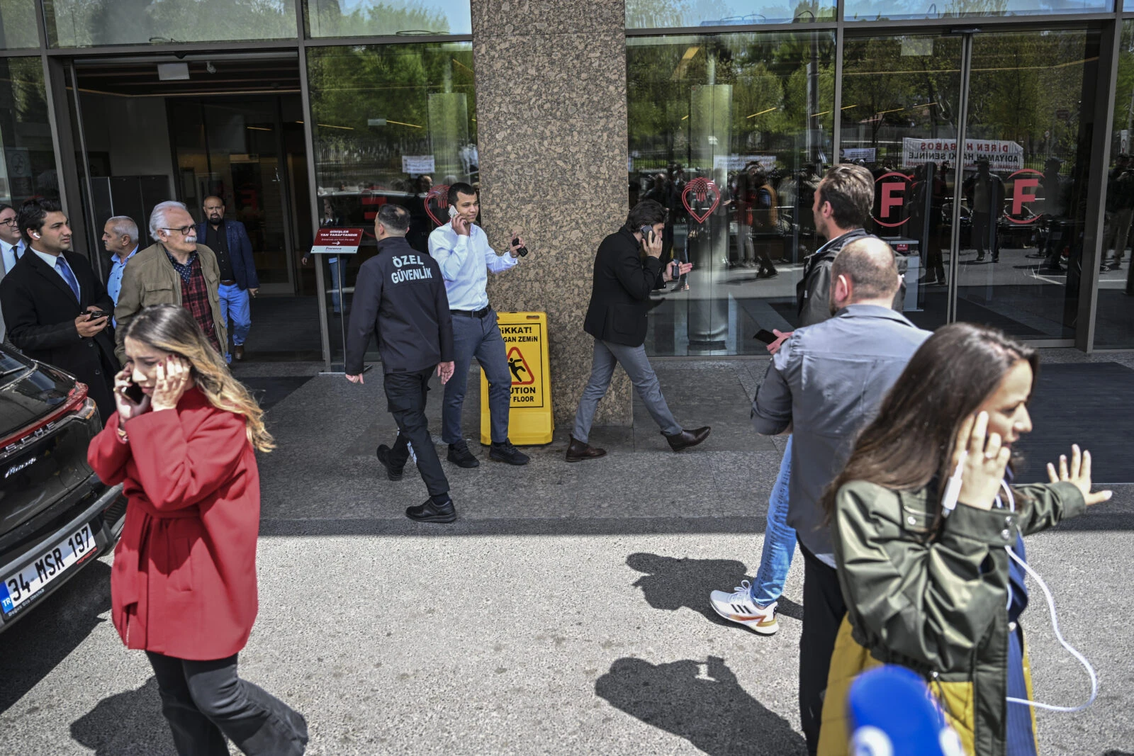
Dear citizens, please do not enter buildings that are damaged or suspected to be damaged due to the earthquake. Do not drive unless absolutely necessary. Avoid using GSM networks unless in emergencies.
The advisory followed reports of residents across Istanbul and nearby cities evacuating homes, workplaces, and public venues in response to the strong shaking.
The earthquake, which occurred at 12:49 p.m. local time on April 23, had its epicenter in the Marmara Sea, approximately 23.16 kilometers from Silivri, with a depth of 6.92 kilometers, according to AFAD.

Areas most at risk in Istanbul during a strong earthquake
There are districts in Istanbul that are vulnerable in terms of geological structure and urban development.
- Zeytinburnu
- Fatih (Historical Peninsula)
- Bakirkoy
- Avcilar (especially coastal areas and near Kucukcekmece Lake)
- Kucukcekmece (Menekse, Kanarya, Cumhuriyet neighborhoods)
- Beylikduzu (Gurpinar: Pekmez and Pinarkent neighborhoods)
- Buyukcekmece (Devebagirtan region)
- Kumburgaz and Silivri
These zones are marked by loose soil, landslide-prone terrain, and dense construction near the Marmara fault line.
Safer zones in Istanbul in terms of ground stability include:
- Kadikoy
- Camlica
- Aydos
- Upper parts of Kartal and Maltepe
The 6.2 magnitude earthquake off Silivri has prompted immediate government response and technical evaluations across transport, infrastructure, and housing. Metro operations remain stable, and aftershocks are being tracked closely by seismic experts.
Schools and universities closed for 2 days following Istanbul earthquakes
Following the 6.2 and 5.9 magnitude Istanbul earthquakes in the Marmara Sea, Türkiye’s Education Minister Yusuf Tekin announced that all schools across Istanbul will be closed for two days as a precaution.
The decision, made in coordination with the Interior Ministry and AFAD, aims to ensure public safety and provide temporary shelter options if needed.
The Istanbul Governor’s Office also confirmed that public employees who are pregnant, disabled, veterans, or mothers of children under 10 will receive administrative leave during this period. Staff in essential services such as healthcare and security are excluded from this measure.
In addition, universities in Istanbul will remain closed on Thursday and Friday, aligning with the broader safety protocols in the city.
Safety reminders from Turkish authorities after Istanbul earthquakes
AFAD (Türkiye’s Disaster and Emergency Management Authority) and Istanbul’s Governor’s Office advised citizens to follow some basic rules to ensure their safety.
- Avoid using elevators
- Shelter under sturdy furniture to form a “life triangle”
- Avoid balconies and windows
- Do not overload mobile networks
- Follow updates only from official sources
Authorities continue to monitor the aftermath of the April 23 earthquake, while emergency teams complete structural inspections across Istanbul.
With no major damage reported so far, officials are focusing on aftershock assessments and public safety measures in vulnerable districts.
You can find the timeline of the Istanbul earthquakes below.
| Time | Latitude | Longitude | Depth (km) | Magnitude | Location |
|---|---|---|---|---|---|
| 16:53:10 | 40.8452 | 28.3920 | 25.7 | 1.8 | Marmara Sea |
| 16:45:39 | 40.8265 | 28.4422 | 20.4 | 2.8 | Marmara Sea |
| 16:32:08 | 40.8463 | 28.3663 | 21.8 | 2.2 | Marmara Sea |
| 16:29:12 | 40.8417 | 28.3630 | 22.4 | 3.2 | Marmara Sea |
| 16:25:17 | 40.7848 | 28.2417 | 5.0 | 3.0 | Silivri – Istanbul |
| 16:09:49 | 40.8610 | 28.2738 | 22.4 | 2.7 | Silivri – Istanbul |
| 16:08:38 | 40.8395 | 28.4312 | 22.9 | 2.4 | Marmara Sea |
| 16:07:29 | 40.8440 | 28.4035 | 21.2 | 3.1 | Marmara Sea |
| 16:03:55 | 40.8620 | 28.4083 | 20.5 | 2.2 | Marmara Sea |
| 16:02:24 | 40.8497 | 28.3958 | 20.0 | 2.2 | Marmara Sea |
| 15:57:41 | 40.8417 | 28.3782 | 20.5 | 2.4 | Marmara Sea |
| 15:54:12 | 40.8473 | 28.3992 | 20.0 | 2.0 | Marmara Sea |
| 15:52:24 | 40.8417 | 28.3807 | 21.5 | 2.7 | Marmara Sea |
| 15:50:50 | 40.8327 | 28.4317 | 24.5 | 1.9 | Marmara Sea |
| 15:47:41 | 40.8442 | 28.4082 | 20.0 | 2.3 | Marmara Sea |
| 15:44:36 | 40.8418 | 28.4093 | 20.0 | 2.0 | Marmara Sea |
| 15:44:13 | 40.8357 | 28.4362 | 21.5 | 2.2 | Marmara Sea |
| 15:36:47 | 40.8365 | 28.4308 | 24.0 | 1.6 | Marmara Sea |
| 15:32:45 | 40.8452 | 28.4000 | 21.5 | 2.2 | Marmara Sea |
| 15:27:57 | 40.8423 | 28.3983 | 21.3 | 2.5 | Marmara Sea |
| 15:19:06 | 40.8427 | 28.3962 | 20.7 | 1.9 | Marmara Sea |
| 15:11:25 | 40.8437 | 28.4002 | 21.2 | 2.3 | Marmara Sea |
| 15:01:42 | 40.8433 | 28.3938 | 21.6 | 2.4 | Marmara Sea |
| 14:59:20 | 40.8417 | 28.3990 | 21.1 | 2.0 | Marmara Sea |
| 14:56:35 | 40.8452 | 28.3995 | 22.1 | 2.5 | Marmara Sea |
| 14:45:27 | 40.8440 | 28.3977 | 21.8 | 2.4 | Marmara Sea |
| 14:40:01 | 40.8427 | 28.3975 | 22.0 | 2.3 | Marmara Sea |
| 14:23:37 | 40.8438 | 28.3982 | 21.5 | 2.1 | Marmara Sea |
| 14:16:21 | 40.8442 | 28.3957 | 21.3 | 2.6 | Marmara Sea |
| 13:43:50 | 40.8478 | 28.3972 | 22.0 | 2.4 | Marmara Sea |
| 13:41:27 | 40.8492 | 28.3957 | 20.5 | 2.1 | Marmara Sea |
| 13:39:34 | 40.8437 | 28.4012 | 20.7 | 2.7 | Marmara Sea |
| 13:36:21 | 40.8435 | 28.3980 | 22.2 | 2.1 | Marmara Sea |
| 13:32:04 | 40.8473 | 28.3980 | 22.0 | 2.4 | Marmara Sea |
| 13:23:00 | 40.8430 | 28.4008 | 20.9 | 2.3 | Marmara Sea |
| 13:20:39 | 40.8438 | 28.4003 | 22.3 | 2.1 | Marmara Sea |
| 13:12:12 | 40.8432 | 28.3993 | 20.5 | 2.2 | Marmara Sea |
| 13:09:30 | 40.8442 | 28.3988 | 21.0 | 2.0 | Marmara Sea |
| 13:06:36 | 40.8427 | 28.4007 | 20.7 | 2.3 | Marmara Sea |
| 12:50:25 | 40.8440 | 28.3975 | 21.3 | 2.4 | Marmara Sea |
| 12:40:08 | 40.8420 | 28.4015 | 20.8 | 2.2 | Marmara Sea |
| 12:30:22 | 40.8448 | 28.3982 | 21.0 | 2.5 | Marmara Sea |
| 12:13:00 | 40.8433 | 28.3998 | 22.0 | 2.4 | Marmara Sea |
