Santorini earthquake, tsunami scenarios: What you need to know
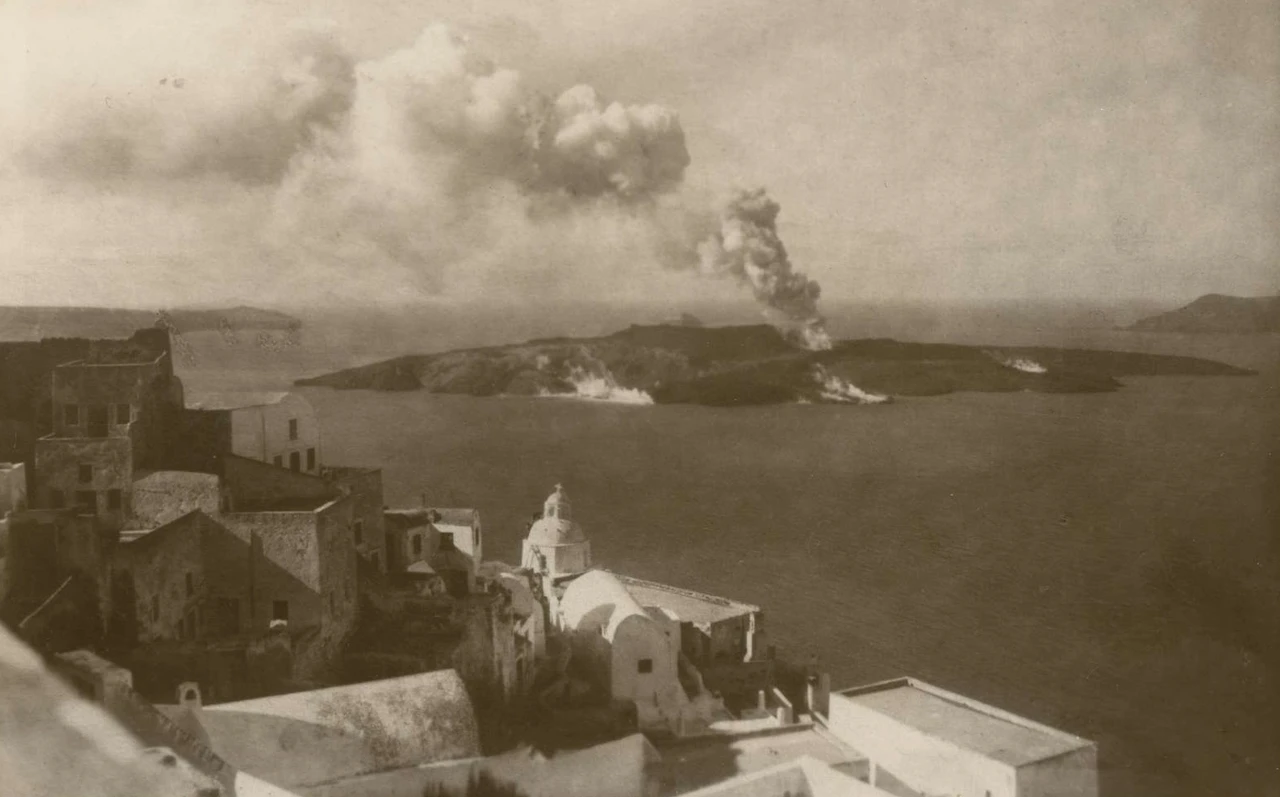 The earthquake of July 9, 1956 triggered an eruption of the Santorini volcano and a massive tidal wave. (Photo via protagon.gr)
A recent report by Middle East Technical University (METU) researchers highlights critical findings regarding tsunami risks in Santorini and the Aegean Sea.
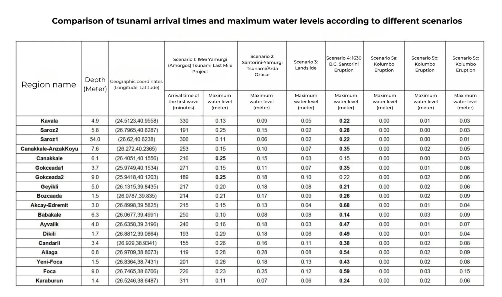
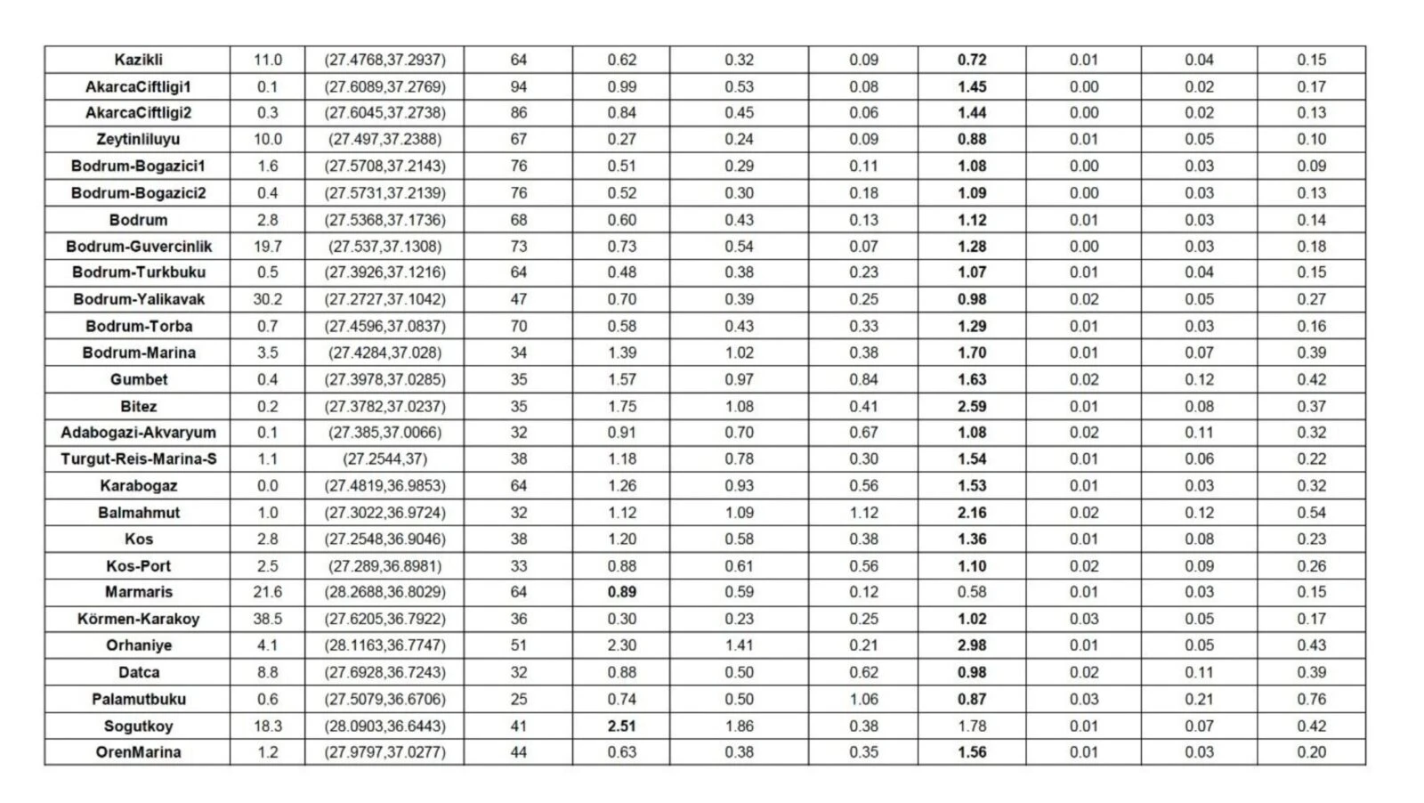
The report by retired Professor Ahmet Cevdet Yalciner from METU Earthquake Engineering Research Center, postdoctoral researcher Gozde Guney Dogan, and Setenay Ozaslan analyzes earthquake storm tsunami scenarios.
It warns of the possibility of significant wave heights in certain areas around Santorini, Amorgos, Astypalaea and Anafi islands. These heightened risks are tied to ongoing seismic activity in the region, which began on Jan. 28, 2025.
Santorini’s active seismic area faces higher tsunami risks
The research predicts that, as seismic activities continue, some locations in the northeast of Santorini Island could experience tsunami waves higher than those projected in the report. This region, encompassing around 2,500 square kilometers, is closely monitored for tsunami threats.
The study explores tsunami scenarios specifically for this area, where both regional and local effects are expected to vary. Notably, the report anticipates different impacts along the coastlines of the islands, which are directly influenced by seismic conditions.
History of earthquakes and tsunamis in the region
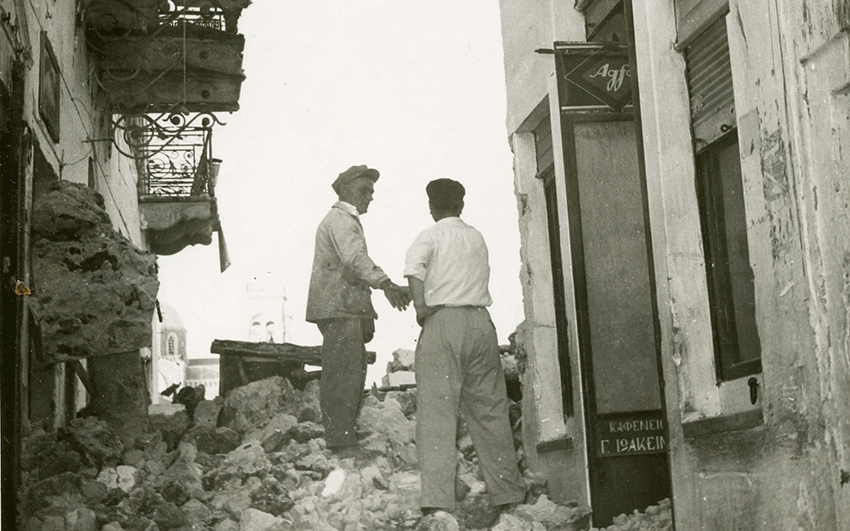
The Aegean region, known for frequent seismic activity, has witnessed several powerful earthquakes throughout history. Professor Yalciner highlighted the 1956 earthquakes, where two significant tremors, measuring 7.4 in magnitude, caused tsunami waves, leading to severe damage across the islands. The tsunami’s effects were felt in various coastal areas of Türkiye, including Bodrum Peninsula, Datca, Gulluk Bay, and Didim.
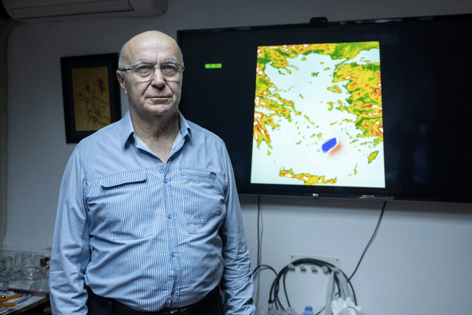
Yalciner reassured the public, stating that there was no immediate cause for alarm. Both Greek and Turkish scientists are closely monitoring seismic and tsunami activity with advanced equipment, ensuring that the situation is well understood. He also pointed out that volcanic activity on Santorini Island has not escalated significantly at present.
Tsunami threats in Mediterranean: What to expect
In the case of earthquakes with a magnitude greater than 6.5, which could trigger vertical movements on the ocean floor, the possibility of a tsunami becomes more likely. However, Yalciner emphasized that the expected tsunamis in the Aegean would not be comparable to the massive waves seen in oceans like the Pacific.
“Tsunamis in the Aegean and Mediterranean would not reach the extreme heights seen in places like Japan or Indonesia, where waves can exceed 30 to 40 meters,” he clarified.
Monitoring Aegean seismic activity
While some seismic events in the Aegean Sea have sparked concerns about the potential triggering of a larger earthquake in the Marmara region, Yalciner stressed that there is no connection between the two. The Aegean’s seismic activity is not linked to any immediate risks for Istanbul.
As part of tsunami risk mitigation, Türkiye has begun taking significant steps toward preparedness. The Buyukcekmece district in Istanbul has earned UNESCO’s “Tsunami Ready” certification, making it the first district in the country to achieve this recognition. Izmir’s Seferihisar district is also working toward similar certification, focusing on creating tsunami evacuation plans and improving awareness.
Santorini volcano remains potential threat
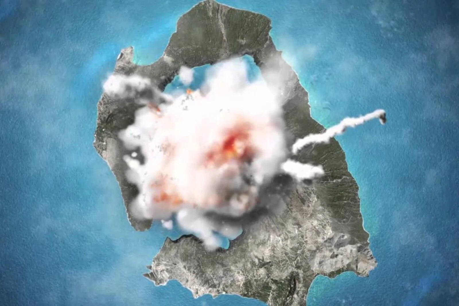
Despite the overall reassuring findings, Professor Yalciner cautioned that the Santorini Volcano could still pose a threat, especially in the event of a volcanic eruption. While the likelihood of a tsunami resulting from such an eruption remains low, the volcanic ash could disrupt air travel and have other significant impacts on the region’s atmosphere.
Professor Yalciner concluded that proactive measures, such as the creation of evacuation maps, providing training for local authorities, and placing warning signs along the coastlines, are essential for mitigating tsunami risks.

