Istanbul earthquakes through history: A city built on shaky ground
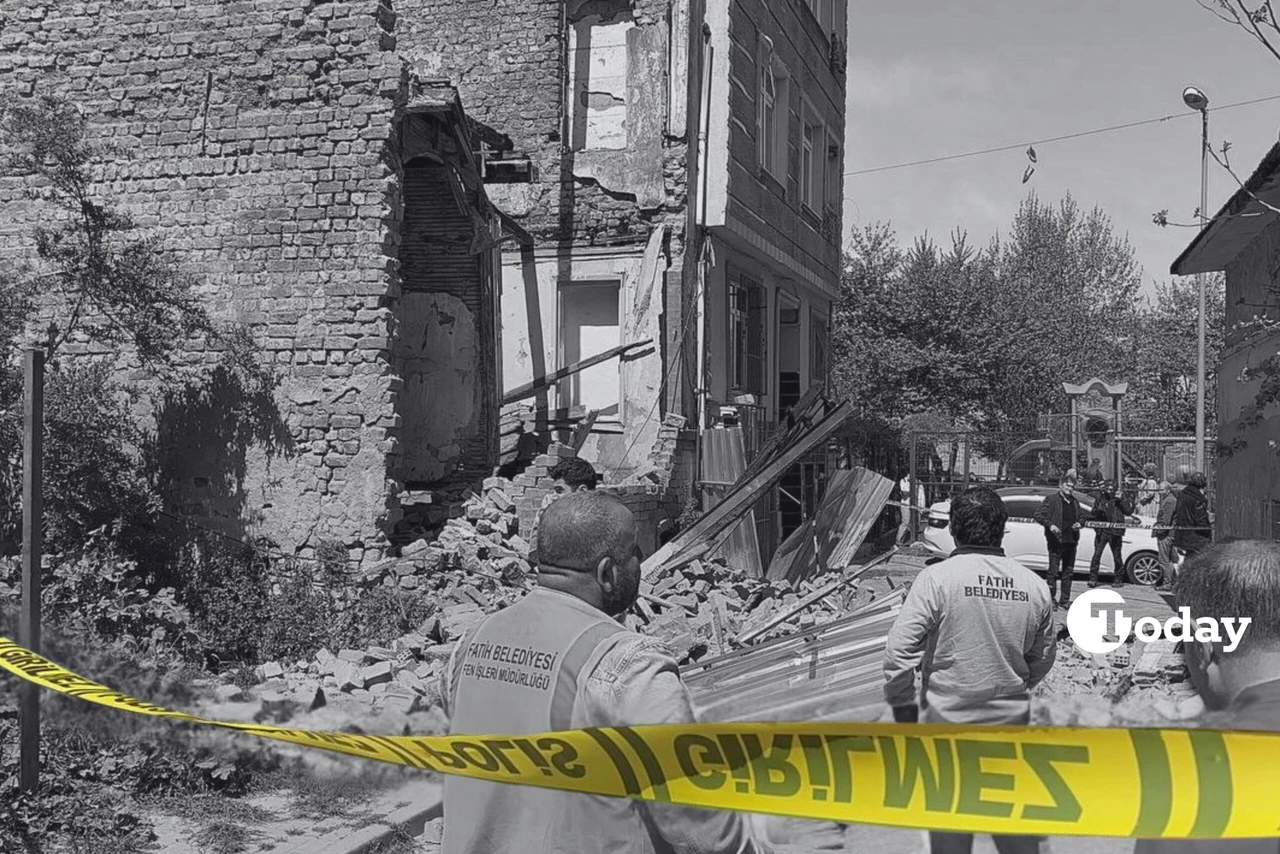 Police take security measures around the area after an abandoned building in Fatih district collapses partly due to a 6.2 magnitude earthquake in Istanbul, Turkiye on April 23, 2025. (AA Photo)
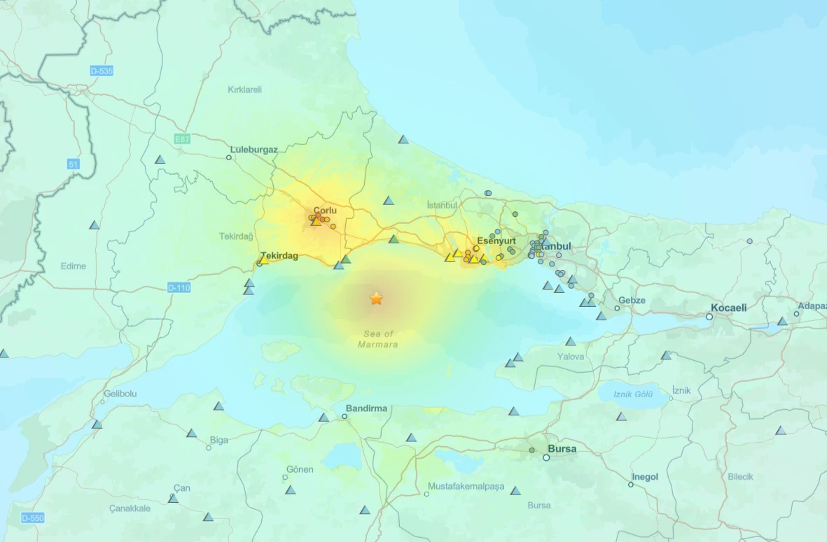
On Wednesday April 23, a magnitude 6.2 earthquake struck off the coast of Silivri, jolting Istanbul and reigniting long-standing fears of a larger disaster. The quake, which occurred at 12:49 p.m., was followed by a series of aftershocks—over 260 in total—some of which reached magnitudes over 5. The incident resulted in injuries to 236 people and damage to at least 378 buildings, many of which were already structurally vulnerable.
Authorities urged residents to stay clear of compromised structures while damage assessments were underway. The tremors, moderate in magnitude, exposed significant gaps in the city’s emergency response and urban resilience planning.
A city perpetually at risk
Istanbul is situated near the Marmara segment of the North Anatolian Fault, one of the most active seismic zones globally. Like California’s San Andreas Fault, the North Anatolian Fault is a strike-slip fault characterized by lateral movements between tectonic plates. The seismic history of the region reveals that Istanbul faces, on average, a major earthquake every 60 years.
The geological threat is compounded by rapid urban growth. With a population of over 15 million, Istanbul has become increasingly vulnerable due to unchecked construction and inadequate adherence to building codes.
Byzantium to Ottoman Istanbul: A chronicle of Istanbul earthquakes
Historical accounts trace earthquakes in the region back over 2,000 years, from the city’s Byzantine past as Constantinople to its role as the Ottoman capital. In 358 A.D., an early quake devastated parts of the city. The 447 A.D. earthquake was particularly severe, causing major damage to city walls, prompting rapid repairs as Attila the Hun’s armies loomed.
The 557 quake caused a partial collapse of Hagia Sophia’s dome, later rebuilt under the direction of architect Isidoros the Younger. These seismic episodes were interpreted not just as natural phenomena but as divine omens, prompting repentance and religious observances across the population.

‘Small Judgment Day’ of 1509
The 1509 earthquake, known as the “Small Judgment Day,” flattened much of the Ottoman capital. Around 4,000-5,000 people perished, with thousands more injured. Over 100 mosques sustained damage, including Fatih and Beyazid, while Topkapi Palace also suffered structural harm. The sultan mobilized 66,000 workers to rebuild the city and imposed new taxes to finance the recovery.
Modernizing amidst risk: The 1894 Quake
One of the most significant earthquakes of the late Ottoman era struck on July 10, 1894. Estimated at magnitude 7.3, the quake caused widespread destruction, particularly in Fatih, Edirnekapi, and Topkapi. Buildings of all types were damaged, from religious structures to hospitals and government ministries.
In response, Sultan Abdulhamid II commissioned studies into the causes of the quake and subsequently established the first seismic observatory in Istanbul. This led to the foundation of what is now the Kandilli Observatory and Earthquake Research Institute.
A wake-up call in 1999
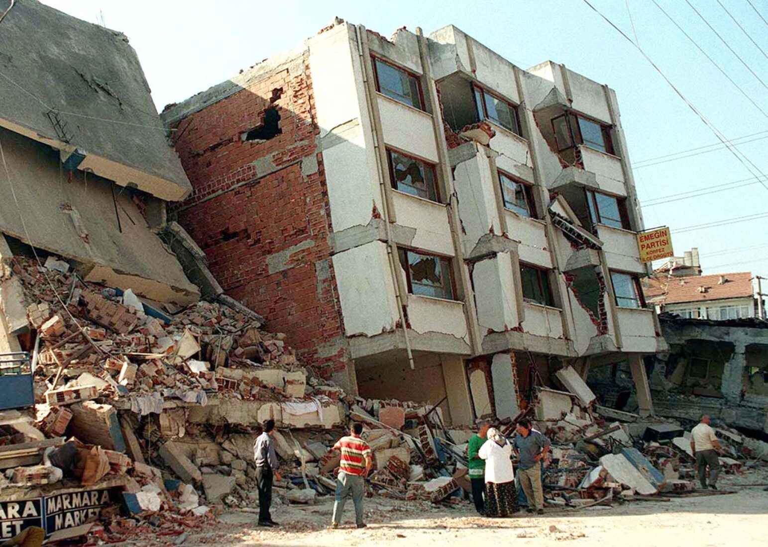
The 1999 Izmit earthquake, with a magnitude of 7.4, hit near Istanbul, killing over 20,000 people nationwide. In Istanbul alone, nearly 1,000 perished. Neighborhoods like Avcilar, built on soft ground with poor construction standards, bore the brunt of the devastation. Public outrage over weak building codes and poor emergency response sparked a civil society movement that led to reforms in disaster preparedness.
Urban vulnerability in 21st century
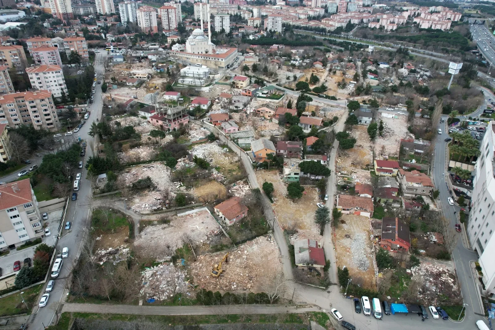
Istanbul’s explosive growth since the 1950s has created a sprawling urban landscape filled with multi-story concrete buildings, many of them non-compliant with seismic safety standards. Although earthquake-resistant construction regulations have improved, enforcement remains inconsistent. Today, both high-rise districts and informal settlements face high seismic risks.
Looking ahead: Istanbul’s seismic future
Recent studies estimate a 60%-70% probability of a magnitude 7 or greater earthquake striking Istanbul within the next 30 years. While seismic prediction remains an imperfect science, geological models and paleoseismic data offer sobering reminders of what’s at stake.
Istanbul’s urban planners and residents face a stark choice: prepare now or face devastating consequences later. Enhanced infrastructure, stringent building regulations, and public awareness campaigns are critical to reducing future losses.
