How Izmir strengthens tsunami defenses after Aegean earthquakes
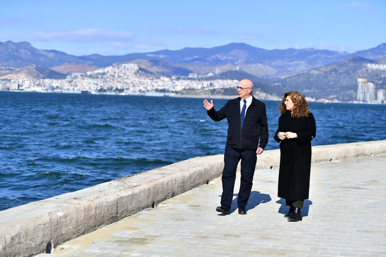
 Experts from Izmir Metropolitan Municipality and Middle East Technical University analyze tsunami risks along the city's coastline to improve disaster preparedness, Izmir, Türkiye, Feb. 12, 2025. (IHA Photo)
Izmir Metropolitan Municipality has completed a tsunami hazard analysis for the city’s coastal areas.
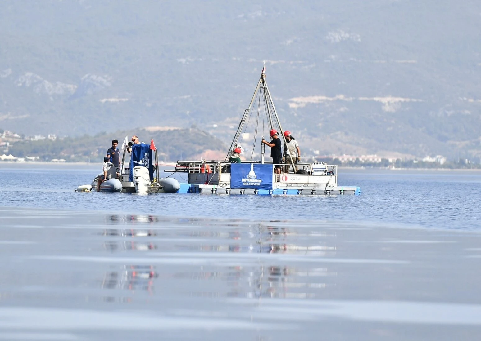
The project, conducted in collaboration with academics from Middle East Technical University (ODTU), examined Izmir’s 600-kilometer coastline and its adjacent districts.
The findings will help create evacuation plans, install warning signs, and implement other safety measures.
Recent earthquakes in the Aegean Sea have renewed concerns about tsunami risks in Izmir. The city’s ongoing Disaster Master Plan includes structural assessments, seismic research, and micro-zonation studies. As part of this effort, ODTU professor Ahmet Cevdet Yalciner led a team of 10 academics to develop a tsunami hazard model for Izmir’s coastline.

Comprehensive mapping, database creation to assess tsunami threats
Eylem Ulutas Ayatar, head of the city’s Earthquake Risk Management and Urban Improvement Department, explained that the project started with the creation of a database identifying tsunami-triggering sources and at-risk facilities.
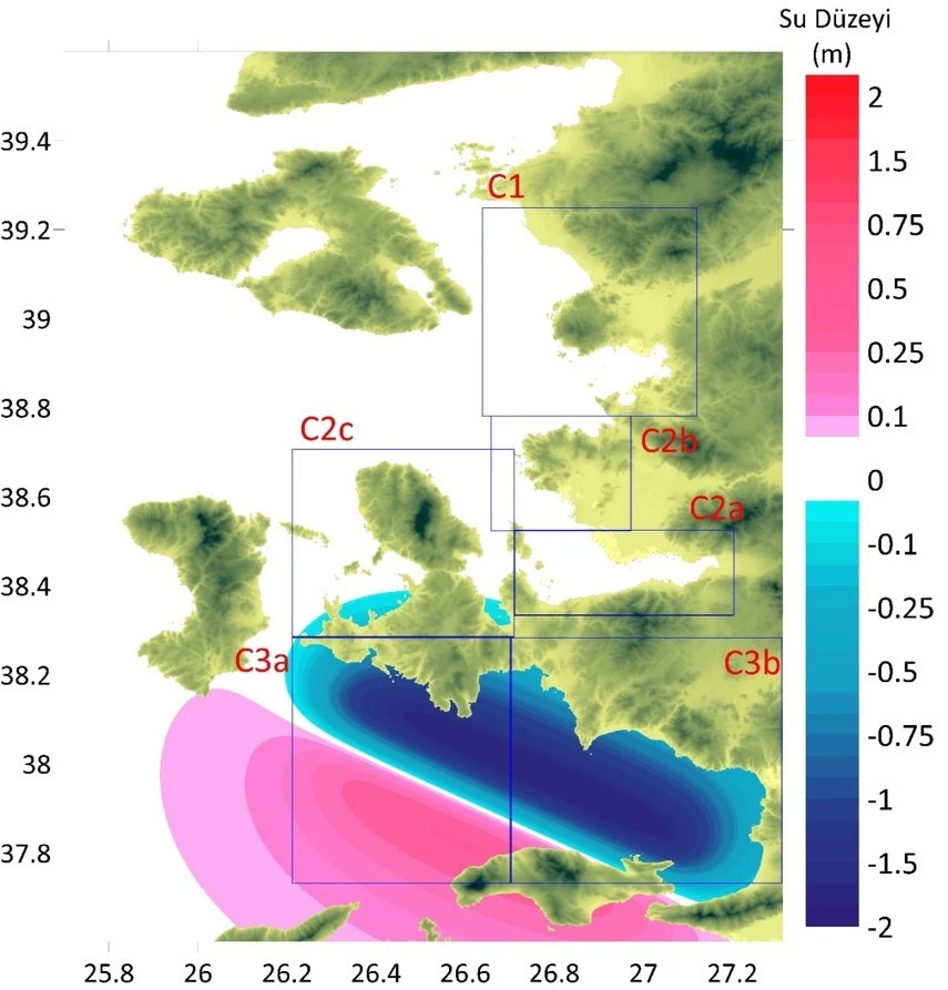
“We then conducted tsunami modeling based on these sources,” she said. “We determined the inland progression of tsunami waves, their flow depths, and hazard distributions before finalizing the inundation maps.”
Ayatar emphasized the importance of risk assessment in disaster preparedness. “Izmir is exposed to both earthquake and tsunami risks,” she stated.
“Understanding these risks allows us to take necessary precautions. We will now focus on informing residents, installing warning signs, and implementing structural and non-structural safety measures.”

Detailed tsunami risk analysis, mitigation strategies for coastal areas
Professor Yalciner, the project’s lead researcher, said the analysis focused on mapping tsunami-prone areas across Izmir’s coastline.
“To achieve this, we developed a highly detailed bathymetric and topographic database in collaboration with the municipality,” he explained. “We assessed the tsunami generation potential of offshore faults and mapped inundation zones for each district.”
The project also examined possible mitigation measures, including structural barriers and their feasibility. Yalciner stressed the importance of public awareness campaigns. “We will educate people on how to respond to tsunamis and create evacuation maps,” he said. “Warning signs will be installed along the coast to guide residents toward safe areas.”

Tsunami preparedness in Izmir could serve as model for other Turkish cities
Yalciner noted that Istanbul had previously conducted a similar tsunami modeling study for its Marmara coastline. That project was recognized by UNESCO as a significant contribution to disaster preparedness.
“We have now applied the same approach to Izmir,” he said. “Izmir will not only serve as a model for other cities in Türkiye but also for urban areas worldwide. We are making significant progress in meeting UNESCO’s ‘Tsunami-Ready Cities’ criteria.”
Turkish expert claims there’s no major tsunami threat from potential volcanic activity in Aegean
Discussing recent seismic activity in the Aegean Sea, Yalciner said over 2,000 earthquakes had been recorded in the region. While these could indicate a larger earthquake, he explained they might not necessarily lead to significant seismic events.
He also addressed concerns about underwater volcanic eruptions triggering tsunamis. “If a submarine volcano erupts, it could generate a tsunami that travels across the Aegean Sea,” he said.
“However, our modeling shows that any such tsunami would not pose a significant threat to Izmir or northern Turkish coastlines.”
The city continues to implement its broader earthquake preparedness strategy. Izmir Metropolitan Municipality has assessed nearly 100,000 buildings in Bornova and Bayrakli as part of a structural inventory project.
The initiative will expand to Karsiyaka this year, covering 22,767 residential buildings. Meanwhile, the Izmir Seismicity Research Project remains the largest earthquake study in Türkiye, analyzing seismic risks within a 100-kilometer (62.1 miles) radius of the city.
Authorities plan to integrate all research findings to enhance Izmir’s resilience against natural disasters. The city aims to ensure the protection of its residents against potential disasters with tsunami evacuation maps and improved structural safety measures.


