Early landslide detection project launched in Türkiye’s eastern Black Sea region
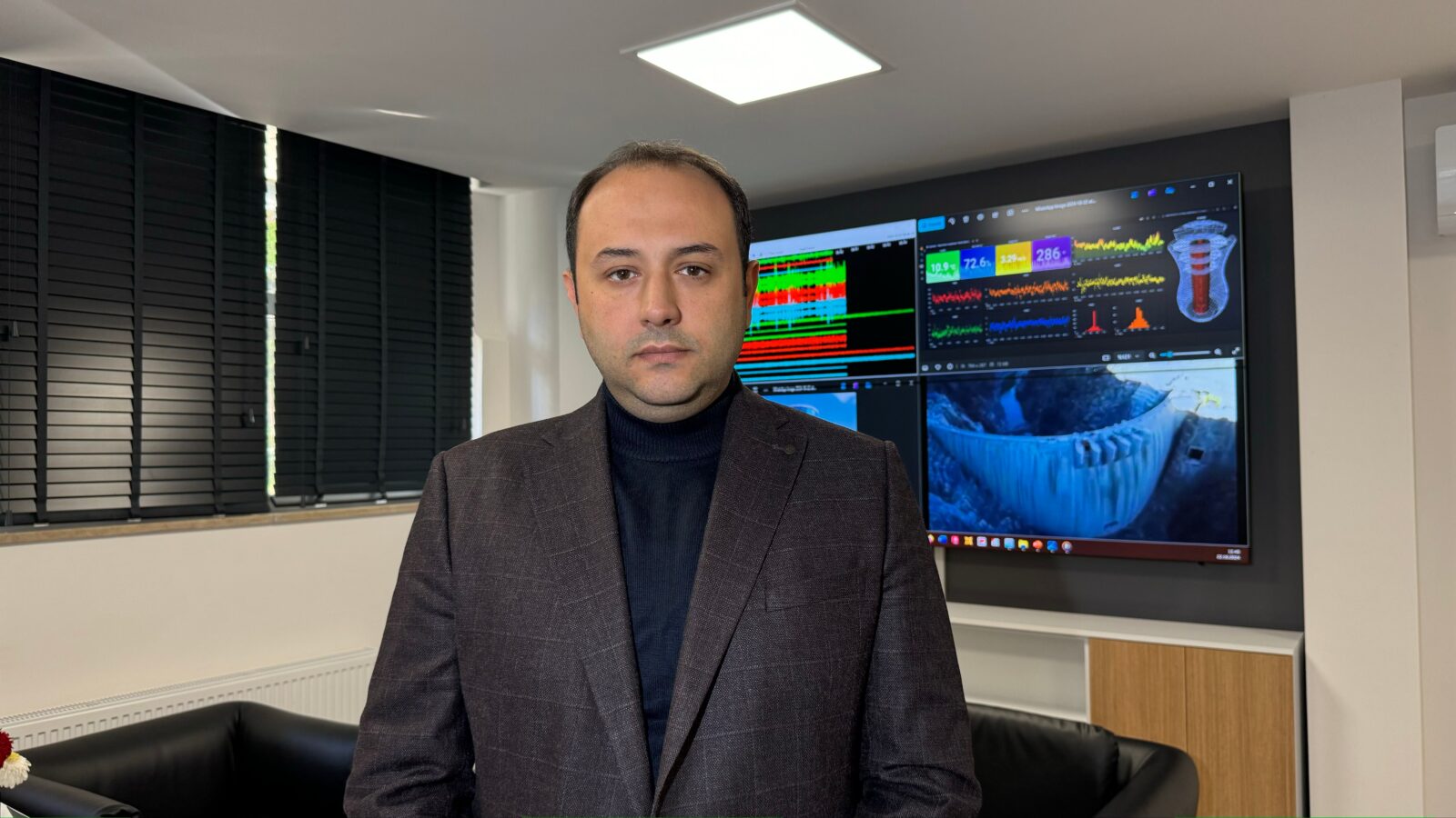
 The project, prepared by the Earthquake and Structural Health Application and Research Center of Karadeniz Technical University (KTU) and planned to be implemented in March 2025, will enable early detection of landslides using drone-supported ground radar, Türkiye, November 11, 2024. (AA Photo)
A project has been developed by the Earthquake and Structural Health Application and Research Center of Karadeniz Technical University (KTU), aimed at the early detection of landslides in Türkiye’s eastern Black Sea region.
Set to begin in March 2025, the project will leverage drone-supported ground radar technology to monitor and identify potential landslides, offering a cutting-edge solution to a significant regional problem.

Drone and ground radar integration for early warning
The project, led by Professor Ahmet Can Altunisik, director of the research center, and Fatih Yesevi Okur, deputy director of the center and Assistant Professor at KTU’s department of civil engineering, aims to provide an early warning system for landslides.
The drone-supported ground radar will periodically fly over designated areas to scan the underground for signs of potential landslides. The data collected will be transmitted in real-time to a central hub for analysis.
Artificial intelligence-based algorithms will process the data, identifying abnormalities such as cracks or voids that could signal impending landslides. If any irregularities are detected, relevant disaster management units will be alerted, allowing for preventive measures to be taken, minimizing potential damage and loss.
Addressing regional challenges with innovation
Altunisik emphasized the importance of this project in solving one of the most pressing issues in the region.
“Landslides and rockfalls are among the most significant problems in our area. The goal of this project is to detect landslides early and take necessary precautions,” he said in a recent interview.
He further noted that the project’s development is part of a broader effort by KTU’s Earthquake and Structural Health Application and Research Center to address various regional challenges through innovative solutions. “Our aim is to identify problems early and implement solutions to mitigate them,” he added.

Cost-effective and portable technology
Okur, who is at the forefront of the project, explained that the concept of using drones in combination with ground radar is an economically viable and portable solution to the high costs associated with traditional landslide monitoring systems.
“Currently, various sensors are used for landslide monitoring, but these are usually embedded within slopes, which is an expensive method. Our system offers a more cost-effective and mobile alternative,” he said.
The project is being developed with a technical team of approximately 10 experts from KTU’s geology and computer engineering departments. The overall cost of the project is estimated at $145,400, and it is expected to launch in March 2025.
Step toward safer communities
The integration of AI and drone technology in this early landslide detection project marks a significant advancement in structural health monitoring in Türkiye. By addressing one of the region’s most severe natural risks, the project promises not only to improve safety for local communities but also to set a precedent for future disaster prevention technologies.
With this initiative, KTU is positioning itself as a leader in using technology to tackle pressing environmental issues and ensure the safety of vulnerable regions.


