Santorini’s earthquakes fade, but island’s land shift prompts concern
 Members of Greece’s Military Geographical Service take measurements on Santorini’s volcanic island, Nea Kameni, to assess whether the seismic swarm that has been ongoing since early February has caused any structural changes, February 10, 2025. (AFP Photo)
The seismic activity in the sea area of Anhydros, situated between Santorini and Amorgos, has shown signs of relative decrease, according to experts from two scientific committees. The seismic activity, which had been closely monitored, seems to be diminishing, although increased ground deformation is observed in the broader Santorini area.
This was confirmed during a meeting of the Permanent Scientific Committee for Seismic Risk Assessment and the Permanent Scientific Committee for Monitoring the Greek Volcanic Arc of the National Observatory of Seismology (OASP), convened by its President Efthymios Lekkas.
Seismic activity linked to submarine faults
The seismic activity in the Anhydros region is attributed to underwater faults oriented from the northeast to the southwest, which are part of the broader geodynamic framework of the area. According to available data, the activity is a result of both tectonic movements and deeper magmatic processes.
According to ProtoThema, experts emphasized that the ongoing seismicity is not extraordinary but remains closely monitored for further developments.
Increased ground deformation monitored in Santorini
While the seismic sequence within the caldera of Santorini remains stable, scientists have observed increased ground deformation in the wider area of the island. This phenomenon is being constantly tracked.
These changes could potentially affect infrastructure and require proactive measures to ensure public safety.

Public buildings show resilience to seismic activity
Based on initial inspections, public buildings in the region have shown excellent structural behavior under seismic forces. This reassured the local population and authorities that the buildings are performing well, despite the ongoing seismic activity in the surrounding area.
Schools in region remain closed until Feb. 21
In light of ongoing concerns, schools in Thira, Ios, Anafi, and Amorgos will remain closed until Feb. 21, 2025, as a precautionary measure. Additionally, the government has maintained all preventive measures in place to safeguard the public.
Further precautionary measures announced
In a related announcement, the Ministry of Climate Crisis and Civil Protection, along with other government bodies, reminded the public to adhere to the following safety measures:
- Avoid large gatherings inside buildings.
- Stay clear of abandoned structures.
- Refrain from approaching and staying at the ports of Ammoudi, Armenis, Korfou, and Old Port of Fira.
- Remove hazardous non-structural elements (e.g., hanging objects, false ceilings) from buildings and drain swimming pools.
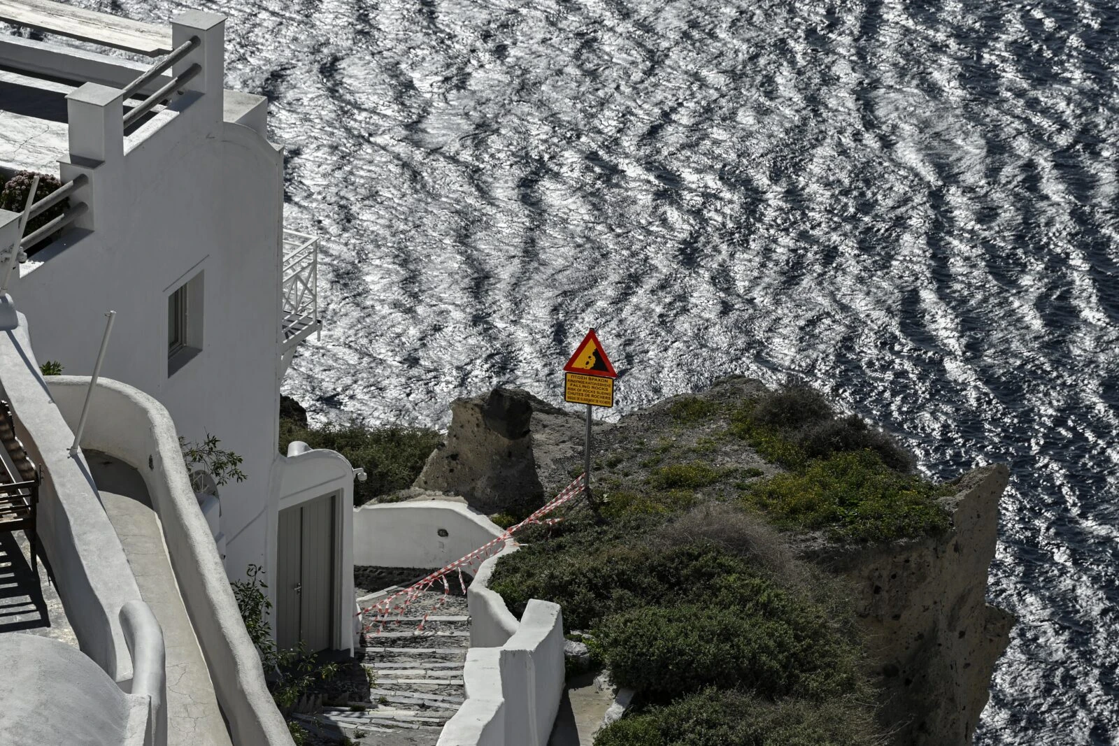
- Choose safe routes when moving within urban and rural road networks, particularly in areas with steep slopes prone to landslides.
- Immediately evacuate coastal areas in case of strong seismic tremors.
- Schools will remain closed until Feb. 21, in Thira, Ios, Anafi, and Amorgos.
The committees will convene again on Feb. 21, at 6 p.m. to assess the situation further.
The seismic situation in Santorini and the Anhydros region remains a cause for ongoing attention, although signs of easing seismic activity have been observed. The increased ground deformation in Santorini is a reminder that the region is seismically active and necessitates constant vigilance.
Public buildings have performed well under seismic stress, and precautionary measures continue to be a priority for local authorities. The continued closure of schools and other preventive measures are expected to remain in effect until the situation stabilizes.

Santorini’s Anyhdros Island shifting westward due to magma-induced earthquakes
Santorini’s Anyhdros Island has been moving westward at a rate of 7 millimeters per day due to seismic activity caused by magma flow, according to Athanasios Ganas, Research Director at the Geodynamic Institute.
Since Jan. 31, a total of 2,474 earthquakes have been recorded, forming a seismic swarm driven by magmatism at a depth of 10-12 kilometers. While the caldera experienced an uplift earlier this year, this movement ceased in late January, with seismic activity now concentrated within a 10-kilometer radius around Anyhdros.
Ganas explained that although the caldera’s uplift has stopped, horizontal displacement continues. GPS data from Anyhdros has recorded consistent westward and downward movement, with the 7-millimeter daily shift surpassing previous activity recorded in 2011-2012.
Despite the frequent earthquakes, Ganas emphasized that there is no risk of a volcanic eruption or the formation of a new volcano. Since Jan. 31, the region has experienced seven earthquakes above magnitude 5 and 221 above magnitude 4.


