Santorini volcano chaos in Greece: Turkish professor warns as 3 signs confirmed
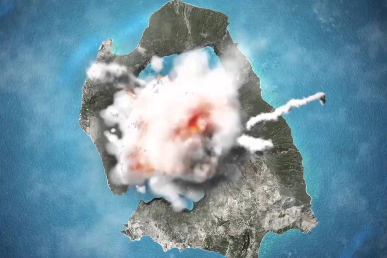
 Animated simulation of a possible eruption on Santorini Island in the Aegean Sea, shown over an aerial photograph. (Photo via YouTube)
A Turkish geophysics professor has raised concerns over increasing seismic activity in Santorini, warning that three of the four key indicators of a volcanic eruption have already occurred.
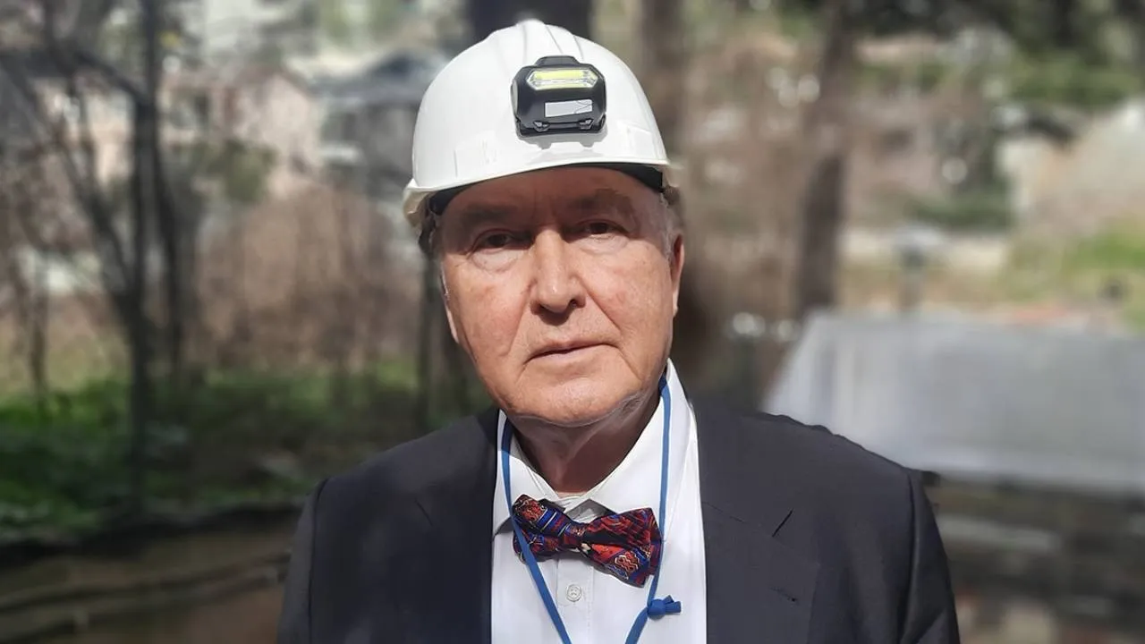
If the eruption coincides with an earthquake, it could generate tsunami waves affecting the Aegean Islands, Crete, the Peloponnese, and the coastal regions of Türkiye’s Tekke Peninsula, according to Professor Ovgun Ahmet Ercan.
Seismic activity points to volcanic origin
Professor Ercan, posting on the social media platform X, highlighted a series of small tremors in Santorini, with the strongest reaching a magnitude of 4.8 on the Richter scale. He explained that the depth of these tremors, between 1 and 5 kilometers, suggests they originate from the volcano’s magma chamber.
“For the past few days, the Santorini region of the Aegean Sea has been experiencing continuous tremors, with the largest reaching magnitude 4.8. The shallow depths, ranging from 1 to 5 kilometers, confirm that these quakes are linked to volcanic activity. The rising pressure in the magma chamber—approximately 250 bars—combined with extreme temperatures of 2,200°C, is attempting to break through the Earth’s crust,” he stated.
Ercan also noted that if the eruption produces silica-rich lava, it could lead to explosive volcanic bombs. Should an accompanying earthquake occur, tremors between magnitudes 5 and 7 could generate tsunami waves, potentially impacting coastal settlements and marine activities in the region.

3 of 4 eruption signs observed in Santorini
According to the professor, geophysics defines four primary indicators of an impending volcanic eruption:
- Shallow earthquakes and seismic storms
- Gas emissions
- Noises from the ground
- Ground swelling
“Santorini has already experienced three of these four signs. However, even with these indicators, an eruption is not guaranteed. It could happen within a week, a year, or it may not occur at all,” Ercan explained.

He also pointed out that similar geophysical symptoms have been observed in Türkiye’s Tendurek and Mount Ararat.
Historical volcanic eruptions in the region
Professor Ercan provided insight into Türkiye’s active volcanic history, noting that past eruptions have had devastating consequences.
- Nemrut Volcano in Bitlis erupted in 1597 and 1657, causing its crater to collapse and form a lake.
- Mount Ararat erupted three times in 1840, killing 1,900 people, with rumblings still heard from its magma chamber today.
- Tendurek Volcano last erupted in 1855, and underground sounds continue to emanate from it.
- In 2018, researchers discovered the underwater Kudur Volcano between Bozburun and Simi, which is still expelling ash up to 30 meters high.
Mount Ararat’s volcanic history dates back 1.5 million years, reaching its current height of 5,137 meters around 20,000 years ago. A massive eruption between 2,500 and 2,400 B.C. is believed to have led to the collapse of the Kura-Araxes civilization, with another significant eruption recorded in 550 B.C. More recently, eruptions in 1,450, 1,783, and 1,840 have been documented, with seismic activity recorded in the years 139, 368, 851, 893, and 1,319 A.D.
Given the potential risks, Professor Ercan has urged authorities to take precautionary measures, including the evacuation of settlements near Santorini, restrictions on maritime traffic, and limitations on fishing activities.
Access banned to 3 areas on the island: Ammoudi, Armeni, and Old Port of Fira
Recent earthquakes near Santorini have caused landslides, posing a significant threat to both residents and visitors of the island. New footage and images published by Proto Thema confirm the urgent need for protective measures.
Earthquake-induced landslides in Santorini: Athinios bay affected
Videos captured shortly after 12:30 p.m. on Monday show the thick dust rising from a landslide at Athinios Bay, further emphasizing the risks from ongoing seismic activity near the island.
Following repeated warnings and events, Santorini residents are leaving the island, taking all their belongings with them.
Authorities block access to high-risk areas on Santorini
To ensure safety, local authorities have banned access to three specific areas: Ammoudi, Armeni, and the Old Port of Fira. These zones are deemed too dangerous due to the recent earthquakes and the subsequent threat of more landslides.
This is an evolving situation, and the authorities are closely monitoring seismic activity while taking steps to safeguard both locals and tourists.


