
 Newsletters


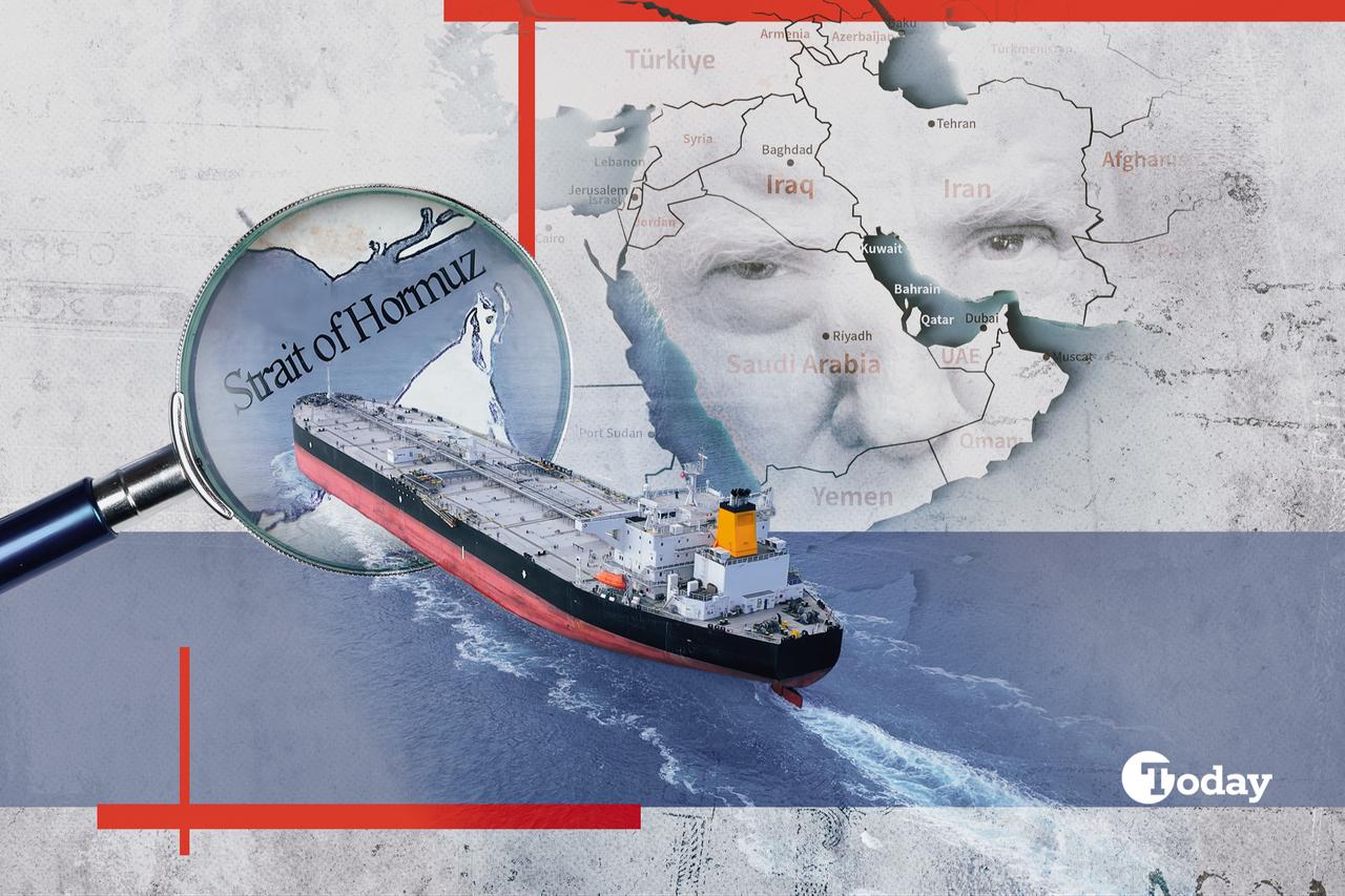
In the Eastern Mediterranean—within that narrow strip where the coastline holds a significance that extends beyond the visible—an architectural development quietly taking shape over the past year is drawing attention.
This development is neither a declaration of alliance nor a declaration of war. Rather, it represents the crystallization of the stance adopted by three capitals—which have long been drawing closer to one another—regarding a common objective.
There is no need to resort to strategic language to define what lies at the very heart of this crystallization.
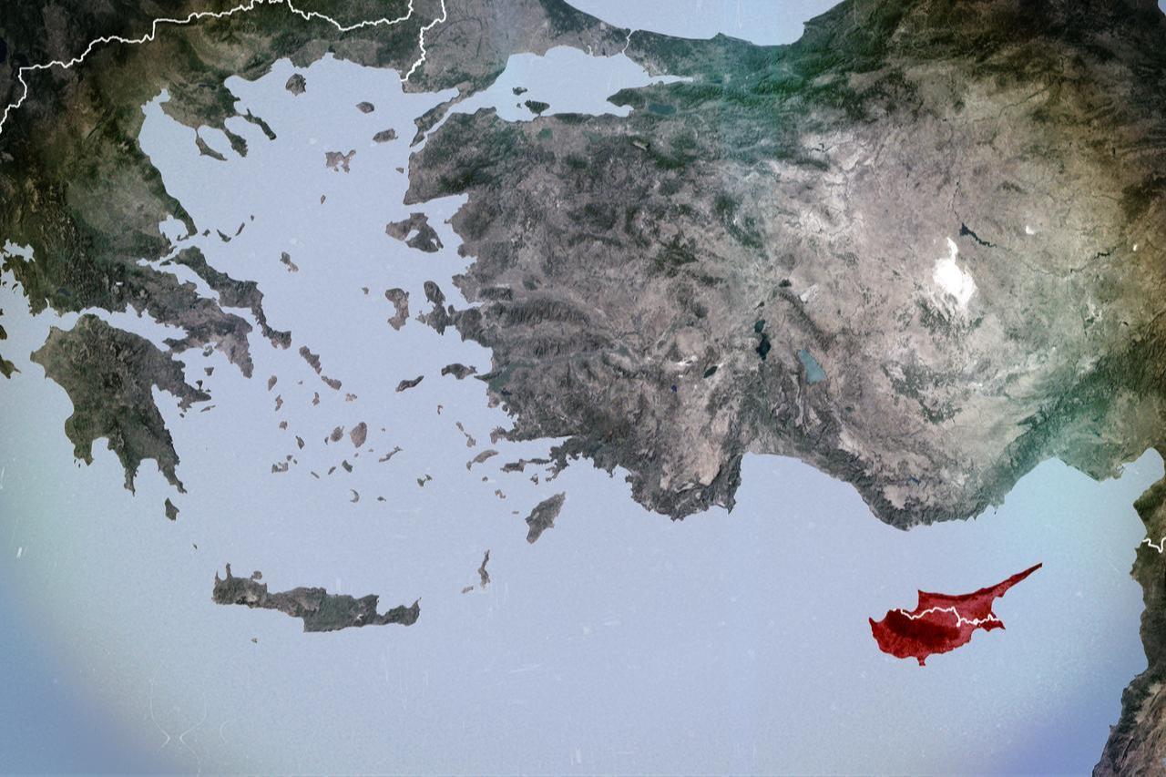
The three capitals have established a clear line. By sharing specific positions, they have aimed to enclose a specific area. The country they aim to leave outside this area—which they have enclosed through several years of planning in the Eastern Mediterranean—and to isolate on its own is Türkiye.

The summit held in Jerusalem brought a decade-long process, which had taken on a symbolic character, under a single framework in the areas of energy security, maritime infrastructure, intelligence sharing, and military coordination.
The documents signed in Nicosia also include exercise schedules, technology transfers, and joint planning mechanisms. The Greek General Staff gave its approval, the Israeli Ministry of Defence issued a statement, and the Greek Cypriot administration confirmed the details.
The joint statement emphasized the "protection of critical infrastructure" and intelligence sharing. Behind the cold language of a diplomatic communiqué, however, lies a far warmer calculation.
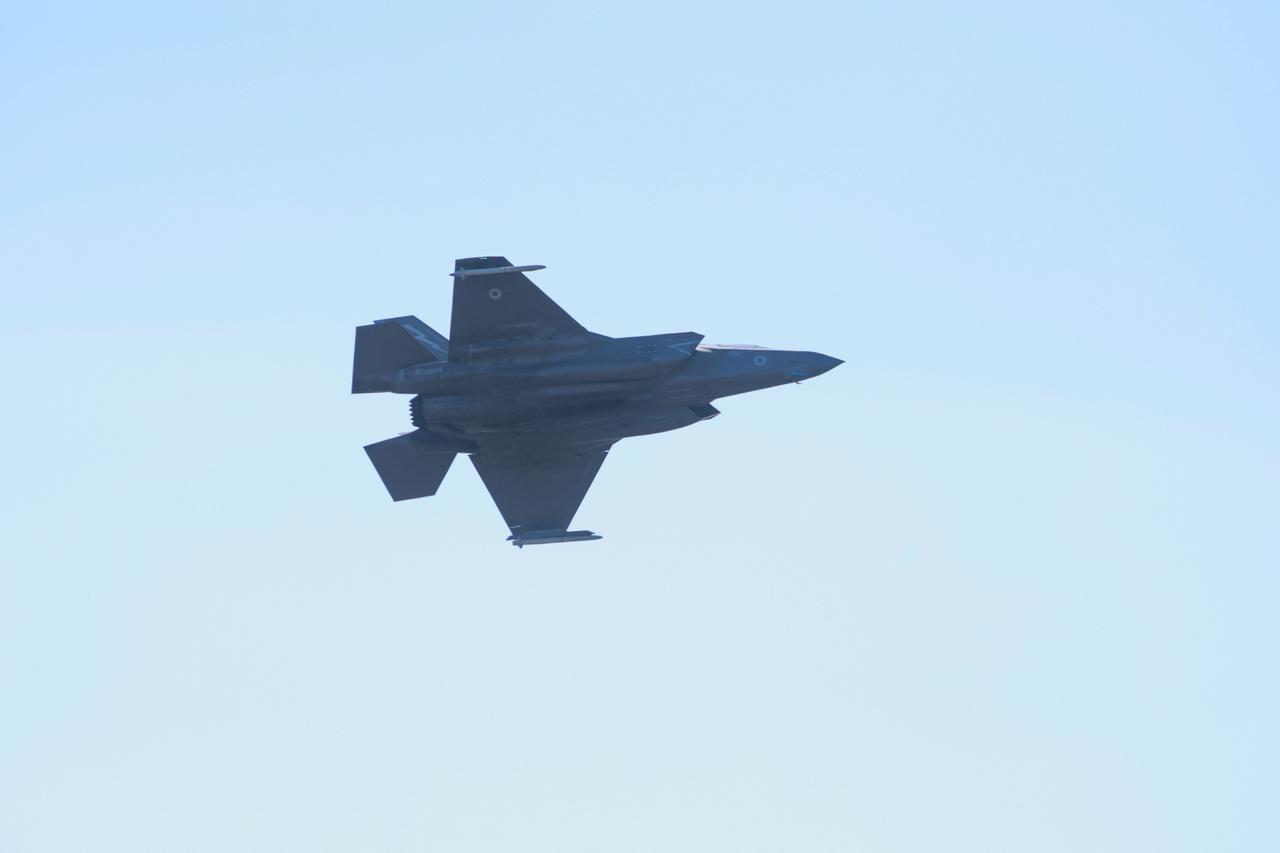
Israel’s proven, refined electronic warfare capabilities, which have adapted to the complexities of the digital age, are being geographically repositioned as part of this process.
The anti-drone architecture, derived from Iron Beam, radar fusion systems for target detection across the electromagnetic spectrum, signal jamming technologies, and sensor networks that detect unmanned aerial vehicles, is now making its presence felt on the eastern shores of the Aegean and in the airspace of Cyprus.
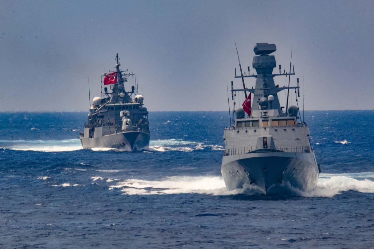
The Psara frigate goes beyond being a symbolic platform that embodies this issue through the Centauros system: it is becoming a visible part of an interconnected whole.
Exercises interlock the air and sea, joint and multinational components; Noble Dina and Iniochos are no longer merely training programs, but rituals of an operational integration project.
The Maritime Cyber Security Center of Excellence, which opened in Nicosia in February 2026, is perhaps the most intriguing component of this framework. It was designed to serve as the nerve center of a surveillance and early warning network covering undersea cables, energy platforms, port infrastructure, and Mediterranean maritime traffic.
The joint structure comprising the Israeli Cyber Directorate, the Greek cyber security authority, and Cypriot institutions positions the cyber domain not as a battlefield, but as a ground for preparation.
This distinction is important: deterrence does not always stem from the barrel of a gun, but sometimes merely from a known capability. And a known capability quietly redraws the adversary’s calculus.
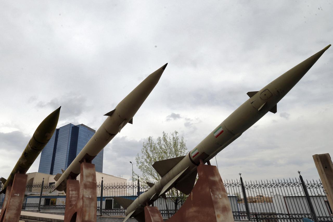
The same logic applies to the Barak MX system deployed in Cyprus. With a range of 150 kilometers and 3D radar capability, this system translates a topographical advantage into a technological reality.
It offers the capacity to monitor the continental shelf, stretching from movements in Northern Cyprus to the south-eastern Aegean. One would have to be truly naive to claim that this is purely for defensive purposes.
By definition, every defense system is an element that alters the adversary’s calculations regarding an attack. The appearance of the Barak MX on the Cypriot horizon was not merely a technical capability; it was a geopolitical signal flare. Türkiye understood this at an early stage.
A brief note is necessary here.
This tripartite structure presents itself to the world under the rhetoric of "regional stability and energy security." They are embellishing this presentation with the EastMed, the Great Sea Interconnector and the IMEC (India-Middle East-Europe Economic Corridor). Consequently, this structure is not merely military in nature; it also has a serious economic rationale and objective.
However, where economic logic and strategic calculations converge, the transparency of the discourse diminishes. It becomes increasingly difficult to distinguish which infrastructure is genuinely being protected for commercial reasons, and which is intended to restrict the operational capacity of a particular geopolitical actor.
Every energy pipeline in the Eastern Mediterranean is also a claim to maritime jurisdiction; every radar station is also part of a surveillance and counter-surveillance architecture. In this sense, distinguishing the fine line between defense and encirclement is becoming increasingly difficult in the Eastern Mediterranean.
Viewed from the perspective of Türkiye, which is at the center of this picture, the outlook is different.
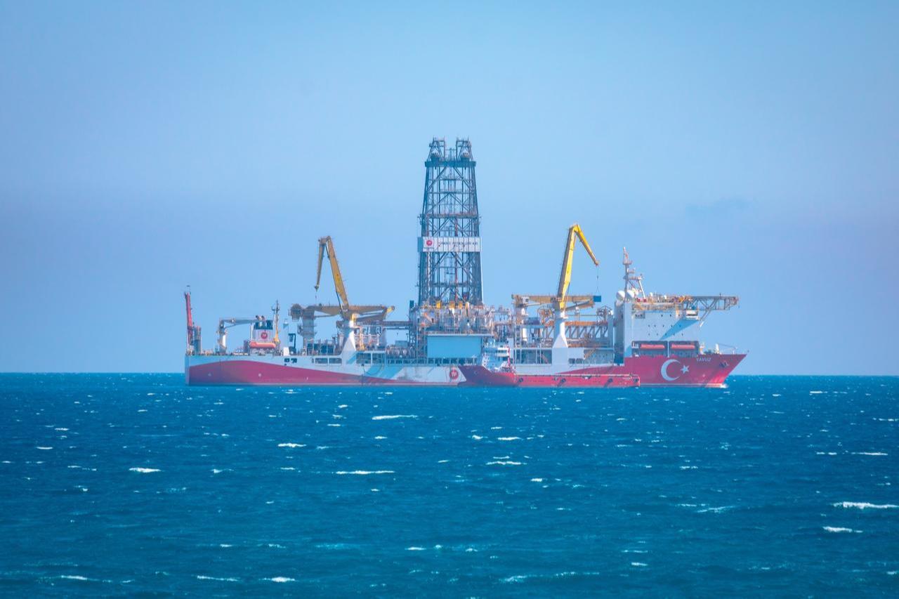
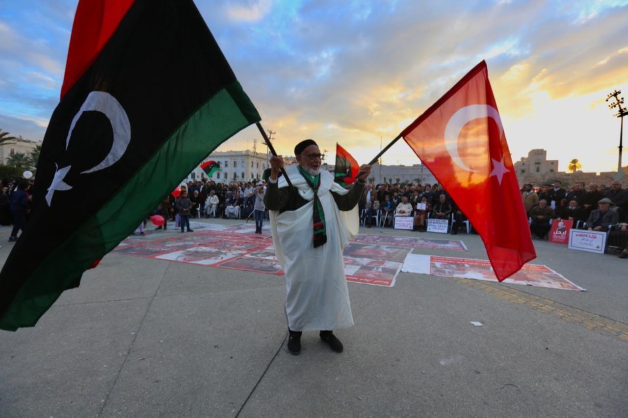
The Blue Homeland doctrine has been at the center of debates for years, both in the legal sphere and on the operational front. NAVTEX notifications, drilling activities, the maritime jurisdiction agreement signed with Libya, and the strengthening of military infrastructure in the Turkish Republic of Northern Cyprus (TRNC).
All of these represent countermeasures taken by Ankara in the context of a rivalry and realignment that has been ongoing for over a decade.
Every step taken has a response, every agreement signed has a countermeasure. The TRNC’s growing strategic importance adds a whole new dimension to this equation: Northern Cyprus is no longer merely a political issue, but is becoming a technical chokepoint.
The tripartite structure taking shape against Türkiye, however, presents a completely closed equation. Every military exercise and every attempt to create a new fait accompli, every plan signed, raises the bar that must be cleared in terms of diplomatic relations; every technology transfer further disrupts the balance of peace in the region.
The Noble Dina and Iniochos exercises are not merely for training purposes; they also send operational signals. Discussions on rapid reaction forces, submarine combat scenarios, and joint sensor networks.
These are not merely agenda items but a blueprint for the future being imposed by Israel. There is virtually no uncertainty amongst regional actors as to whom these signals are directed.
The agenda drawn up by the 3+1 energy ministers, who met in Athens, for their next meeting in Washington is also thought-provoking. The inclusion of the U.S. in this format removes the tripartite structure from being merely coincidental and anchors it within a broader framework.
This is no minor detail. In the absence of a major power guarantee, regional balances remain fragile and prone to tension; the presence of a major power aims to make the Israel equation permanent and to safeguard the tripartite structure.
There is no need to analyse every nuance to understand the situation unfolding in the Eastern Mediterranean. It is enough to look at the bigger picture: on one side, Türkiye—a country grappling with challenges both to its east and west, seeking to expand its maritime rights, and acting out of a desire to maintain its regional influence.
On the other side, three countries are seeking to build a common regional architecture against Türkiye by pooling their vulnerabilities, whilst seeking to transform those vulnerabilities into strength. And between these two, a rapidly evolving technological, operational, and diplomatic reality.
In history, major geopolitical shifts rarely occur overnight. More often than not, maps change as a result of the accumulation of dozens of signed documents, dozens of exercises carried out, and dozens of institutions established.
The Eastern Mediterranean is currently at the very center of this accumulation. The triangles of sea, islands, energy, and sovereignty inherent to the region’s nature are now being shaped by a digital and electronic layer.
Türkiye is well aware of this transformation and the architecture that is being sought to be established. It is also aware of the attempts at encirclement and restriction, as well as the systematic counter-perception campaigns that are being waged without the Eastern Mediterranean even being mentioned.
From this perspective, it would not be wrong to expect Türkiye’s policy in the Mediterranean to move to a new, higher stage across all sectors over time.


 1 min read


 1 min read


